ID: 60322
Advertentie ID: #60322 is toegevoegd aan uw verlanglijst.

Omschrijving
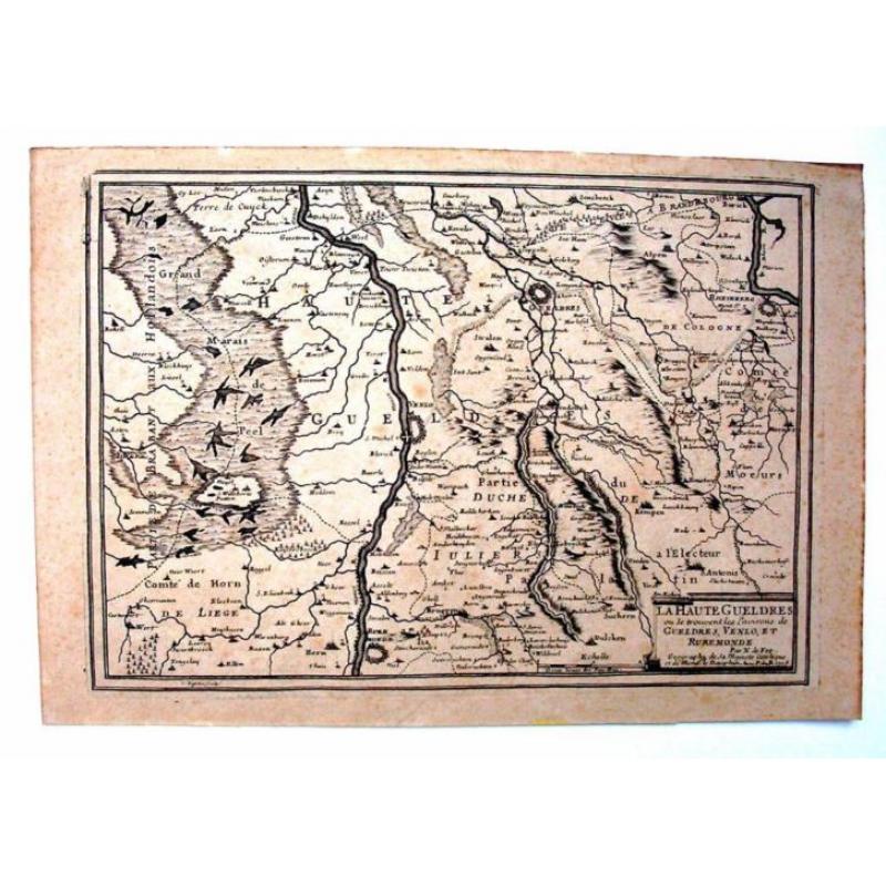
Carte de la Haute Gueldres - Nicolas de Fer
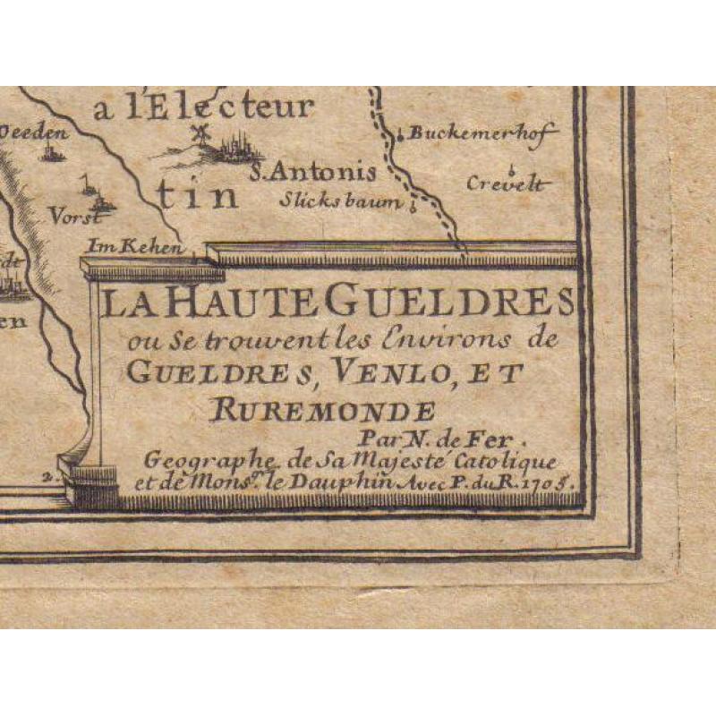
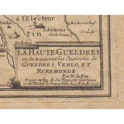
La Haute Gueldres où se trouvent les Environs de Gueldres, Venlo, et Ruremonde par Nicolas de Fer, Géographe de Sa Majesté Catolique et de Monsier le Dauphin.
Avec Permission du Roi
Paris, 1705. C. Inselin sculpsit
Gravure
Dimensions: 38,8 x 26,5 cm.
L'impression: 34,4 x 24 cm
En bon état
un peu piqué
Map of The High Gelders by Nicolas de Fer
Paris, 1705
Copperengraving
Dimensions of the paper: 15.3 x 10.4 inches;
Dimensions of the impression: 13.5 x 9.4 inches.
In good condition
some foxing
Shipping fee for registered mail (The Netherlands: € 8,60; Europe: € 19,95; rest of the world: $ 37.75) to be paid by buyer